


</span><br /><span class=\"s_readmore\">Read More<i class=\"icon-signin\"></i></span></a>")


Aloha from Forestry & Wildlife
Our mission is to protect, manage, and restore natural and cultural resources in collaboration with the people of Hawaiʻi. We envision a future with thriving native ecosystems and opportunities for the people of Hawaiʻi to engage with nature. You can learn more about Forestry and Wildlife and the people who work here on our About Us page. E mālama kākou i ka ʻāina!
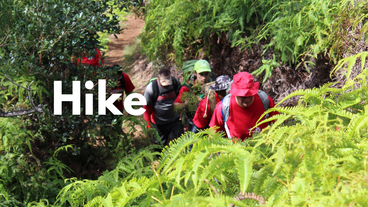
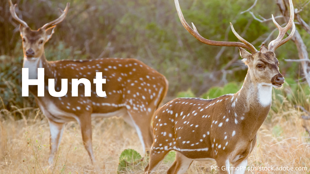
Explore Outdoors
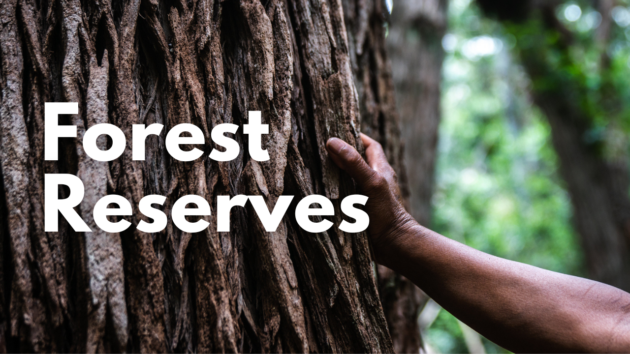
Forestry & Wildlife manages roughly one million acres of public lands across Hawaiʻi. While some of these areas have restricted access in order to protect Hawaiʻi’s at-risk species & ecosystems, many of the lands we manage can be experienced in person through hiking, hunting, camping, or other uses. Some activities and locations require permits. To find resources near you, use the web map at the bottom of this page.
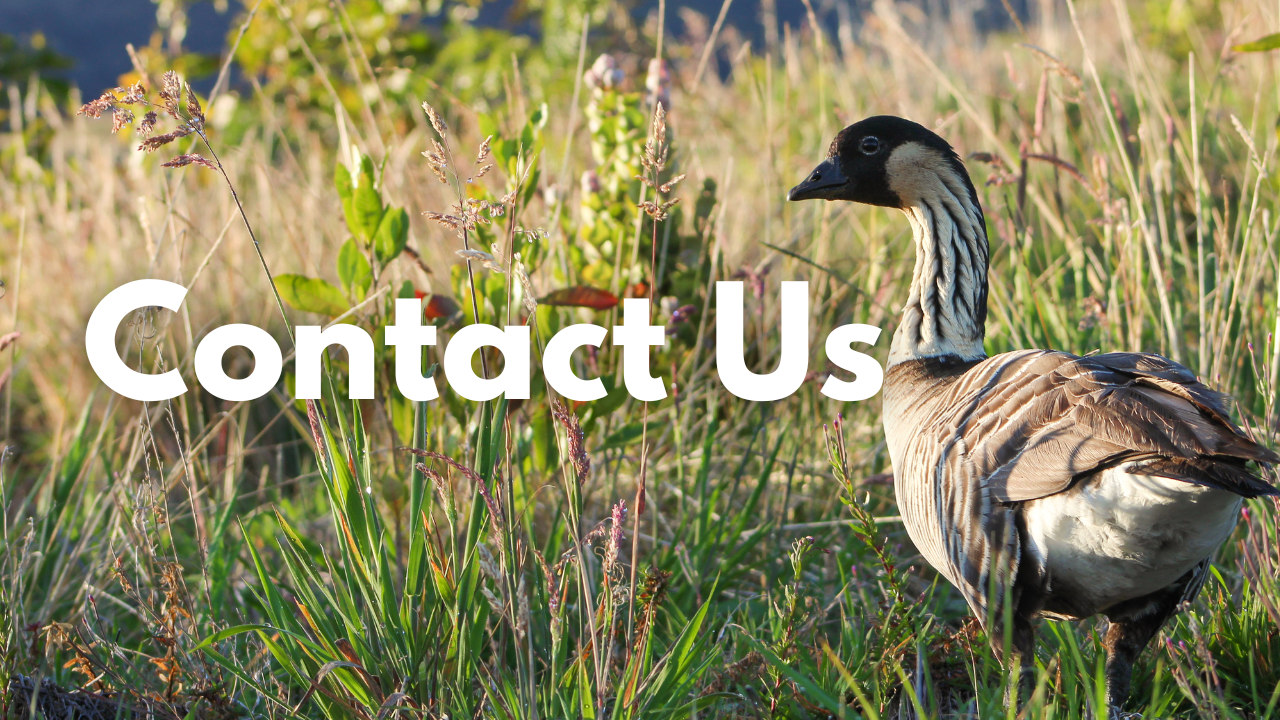
Connect with Us
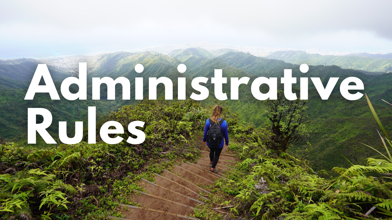
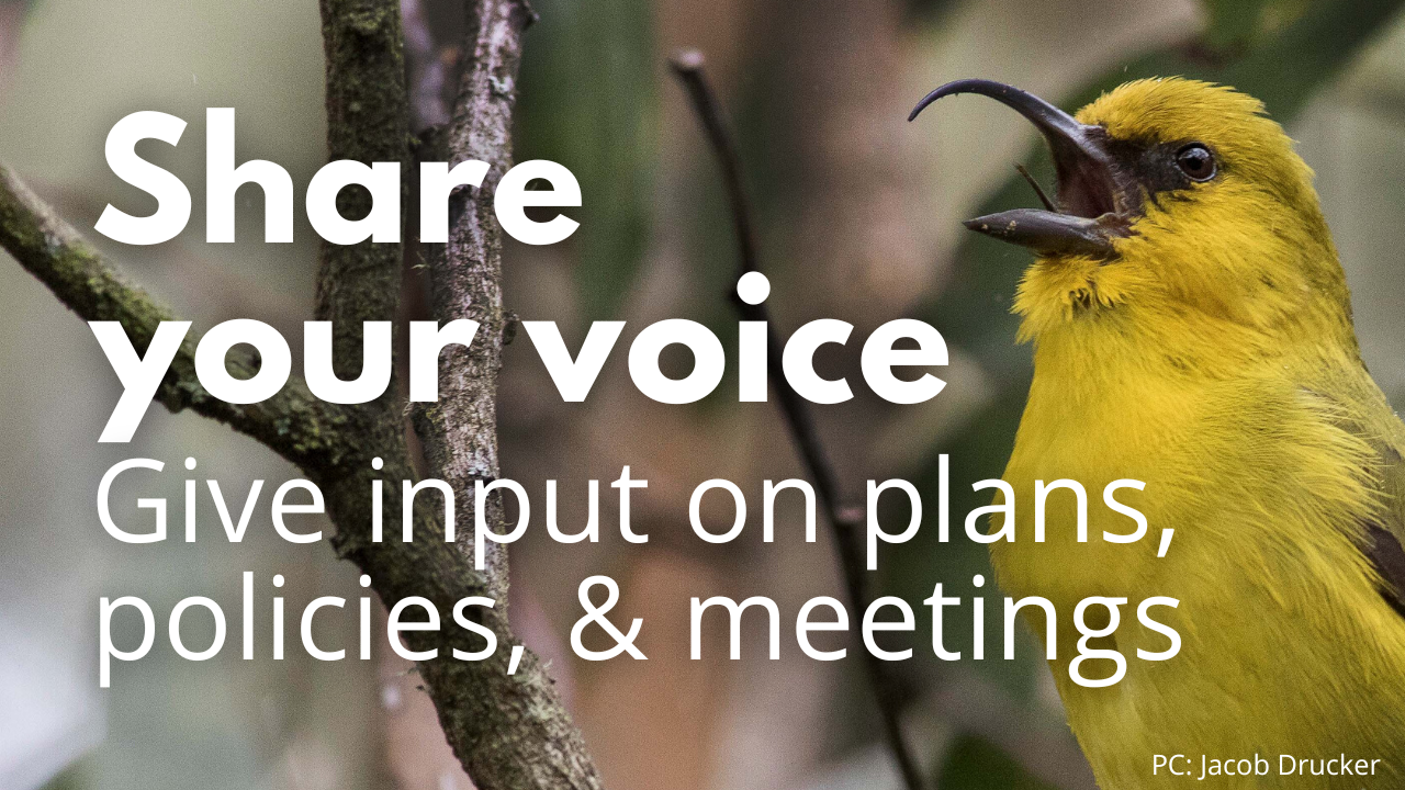
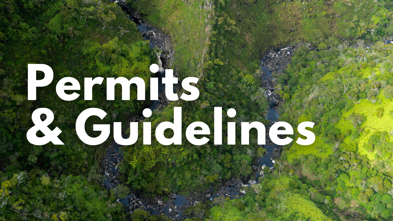
When interacting with lands and species managed by Forestry and Wildlife, you’ll need to follow our administrative rules, and you may need a permit depending on where you’re going and the activities you plan to engage in. We encourage you to participate in the process of management by sharing your voice: attend our public meetings, provide input on proposed plans and policies, or just send us a comment.


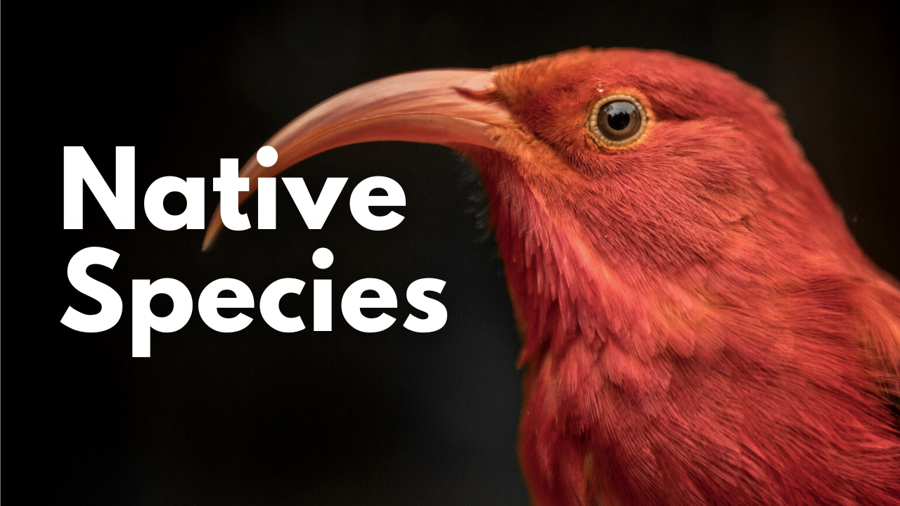
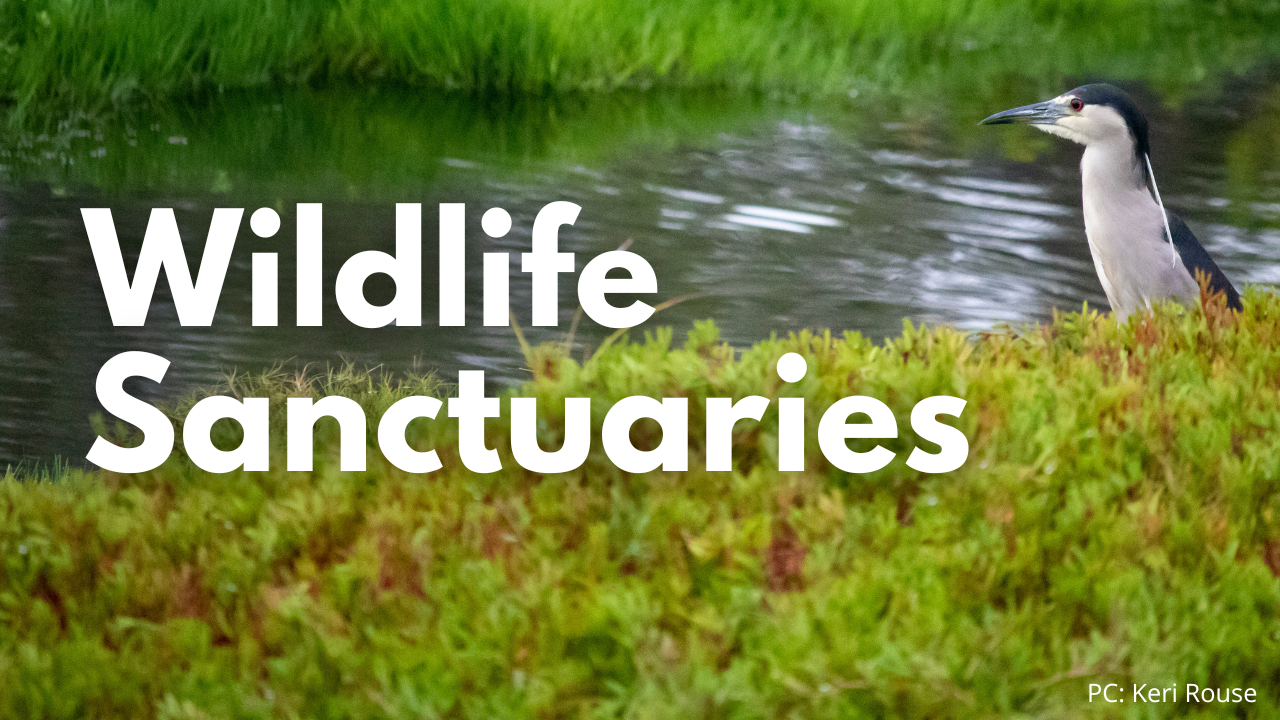
Learn About Hawaiʻi’s Species and Protected Areas
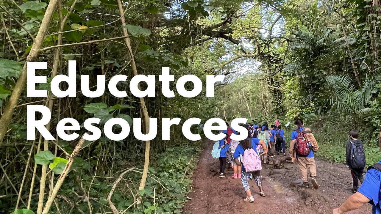
We are fortunate to be entrusted with the management of some of the world’s most fascinating, unique species, and to work in and manage areas that are truly special. The links below provide educational information about some of the species and places with which we work. You can find more ways to learn on our Education pages.

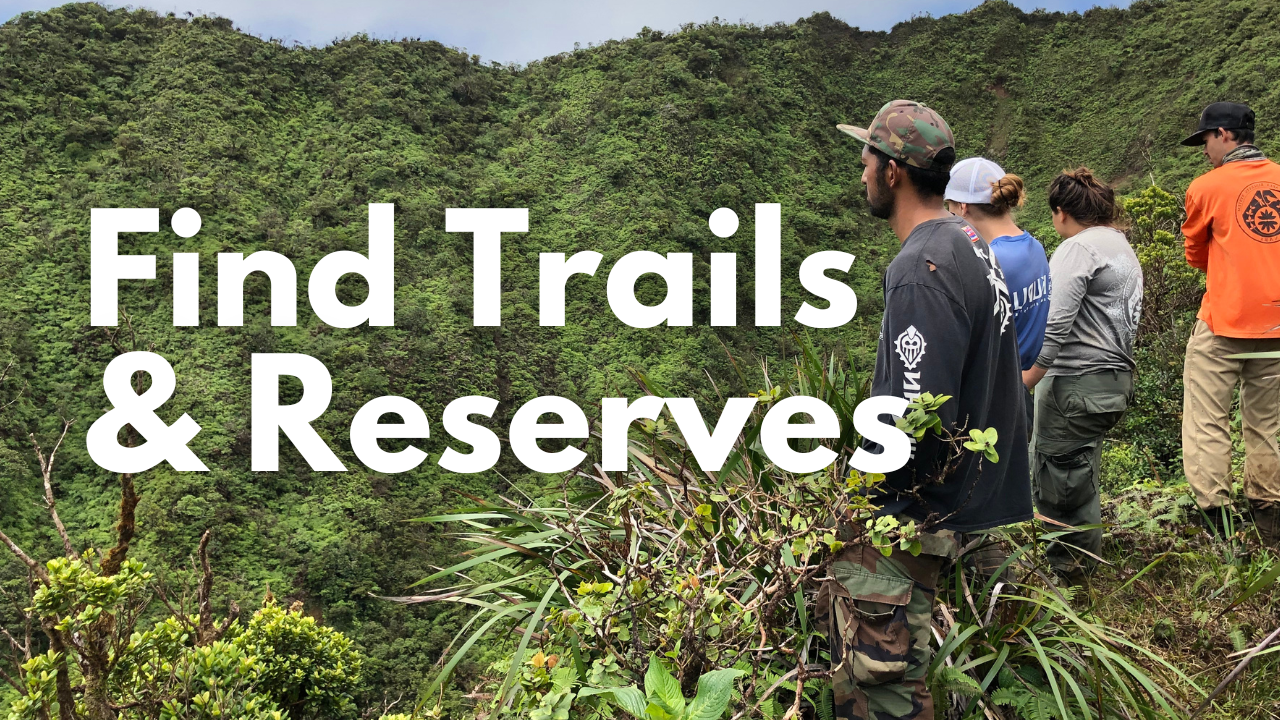
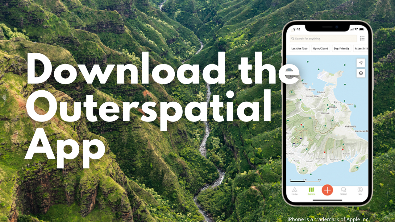
Find Reserves and Trails Near You
If you’re looking for public resources near you, we provide a few options. First, check out our Island Hubs, which are mini-websites that focus on the information most relevant to you, based on where you are. We have Island Hubs for Kauaʻi Forest Users, Oʻahu Forest Users, Maui Nui Forest Users, and Hawaiʻi Island Forest Users.
You can also use the web map below to find reserves, trails, and campsites. Click on any reserve or trail in the map to find more information about it. For convenience, the map below shows Forestry & Wildlife resources alongside State Parks and other public areas that may be of interest to you. If the embedded map below doesn’t display correctly, try opening it fullscreen.
News Releases
- 2/28/25 – TEMPORARY CLOSURE OF MAʻAKUA RIDGE-PAPALI TRAIL FOR LITTLE FIRE ANT ERADICATION
- 2/24/25 – EXPLORING OUR WILDFIRE FUTURE IS THEME OF 2025 HAWAI‘I WILDFIRE SUMMIT
- 2/21/25 – HAWAIʻI ISLAND 2025 SPRING BEARDED TURKEY SEASON
- 2/19/25 – NEW SPECIES OF BEE DISCOVERED ON MOLOKA‘I
- 2/14/25 – RELEASING MOSQUITOES TO HELP KAUA‘I’S FOREST BIRDS
- 2/10/25 – VOLUNTEERS ASSIST COQUI FROG CONTROL EFFORTS ON O‘AHU
- 2/10/25 – TEMPORARY CLOSURE OF KEANAKOLU ORCHARD FOR MAINTENANCE
- 2/5/25 – RAPID ʻŌHIʻA DEATH DETECTED AT MAUI ELEMENTARY SCHOOL
- 2/5/25 – HAWAI‘I WILDLIFE CONSERVATION/GAME BIRD STAMP CONTEST OPENS
- 2/4/25 – BLESSING THE “BIRDS” CRITICAL TO SAVING KAUA‘I’S FOREST BIRDS
Announcements
See recent Trail Closures and Hunting Announcements
- Updates: Mosquito control efforts in Alakaʻi Wilderness
- Hawaiʻi Island Forest Users has a new home
- Update: Loop Road / Wailua Forest Management Road Now Open
- Maui Forest Users website has a new home
- Oʻahu Forest Users has a new home online
- January 17 Public Hearing – Proposed Draft Safe Harbor Agreement for the Introduction of Endangered Orangeblack Hawaiian Damselfly (Megalagrion xanthomelas) to a Conservation Area on the Island of Lānaʻi
- Update: Loop Road/Queensland Crossing Project
- Wildland-Urban Interface Grants Now Open
- Live from the Forest, It’s Smokey Bear! Tune in Every Friday in October
- July 15 Public Hearing – Revisions to Ch. 13-209 Natural Area Reserves System Rules